- City Fajr Shuruq Duhr Asr Magrib Isha
- Dubai 04:32 05:49 12:21 15:48 18:47 20:04

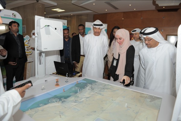
Photo: Wam
Hussain Nasser Lootah, Director-General of Dubai Municipality inaugurated the Meteorological Radar project, which was launched by the Municipality in the field of Geodetic Survey.
The project is implemented as part of the development of the early warning system for weather forecasting and monitoring of climate change and its impact on all regions of the Emirate of Dubai.
The radar can detect rain drops in the clouds from a distance of 200 km as well as identify the types of thunderstorms and its time of occurrence and direction.
The meteorologists can analyse radar observations, and predict the passage of a storm over a certain area. In many cases, they can give advance warnings to the public and those in charge about the path of a cyclone, a whirlwind, a severe storm, cloud direction, the place and intensity of downpour for taking precautions.
The meteorological radar was installed in coordination with Sky Dive on at the Fly Dubai building Dubai - Al Ain Road, because the building is the best contour height to get a 360 degree circular coverage of all areas of the Emirate of Dubai for the radar range and the least impact of jamming sources.
Iman Al Khatibi, Head of Geodetic and Marine Survey Department, Dubai Municipality, said, "The Meteorological Radar Project highlights the continuous development of the weather forecasting system of Najm Sohail, one of the best meteorological systems used for technology at the regional level. Through its development, Dubai Municipality strives to provide and maintain sustainability in public safety with the best services to the public and partners."
![]() Follow Emirates 24|7 on Google News.
Follow Emirates 24|7 on Google News.