El Niño conditions set to influence global temperature, rainfall patterns, increasing risk of extreme weather: WMO
There is an 80% likelihood of an El Niño event during June-August 2026.
Geneva: Fuelled by unusually warm ocean waters in the tropical Pacific, El Niño conditions are developing and are set to influence global temperature and rainfall patterns, increasing the risk of extreme weather over the coming months, according to the World Meteorological Organisation (WMO).
A new WMO El Niño/La Niña Update indicates an 80% likelihood of an El Niño event during June-August 2026. Probabilities for this to continue until at least November are near or above 90%. Although some uncertainty remains about El Niño peak strength and timing, most forecast models suggest it will be at least moderate - and possibly strong.
WMO El Niño/Updates are the world's most authoritative source of information for governments, humanitarian agencies and climate-sensitive sectors like agriculture, health, energy and water management. They are based on a consensus of models from WMO Global Producing Centres, experts from National Meteorological and Hydrological Services and climate prediction centres around the world and are produced through a collaborative effort between the WMO and the International Research Institute for Climate and Society (IRI).
"The science is clear: El Niño is arriving on our doorstep in the coming months with 90% certainty. The world must treat it as the urgent climate warning it is. El Niño conditions will pour fuel on the fire of a warming world. Impacts will hit even harder, travel even farther, and cross borders with devastating speed. The only effective response is climate action equal to the crisis - ending the addiction to fossil fuels, accelerating the shift to renewables, protecting the most vulnerable, and delivering early warning systems for all." said UN Secretary-General António Guterres, in a video statement.
In late April to mid-May, the sea-surface temperature in the central-eastern Equatorial Pacific - the area used as a monitoring reference - was approaching El Niño thresholds, according to observations from different platforms used by WMO.
These increasing surface anomalies are being fed by unusually warm subsurface conditions across the tropical Pacific, with temperatures exceeding 6 °C above average and providing a substantial reservoir of heat that is contributing to the observed surface warming.
Meanwhile, the Southern Oscillation Index - which is the atmospheric component of El Niño - is also consistent with developing El Niño conditions.
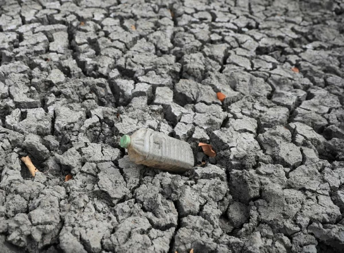
"We need to prepare for a potentially strong El Niño event - which will exacerbate drought and heavy rainfall and increase the risk of heatwaves both on land and in the ocean. The most recent El Niño, in 2023-24, was one of the five strongest on record and it played a role in the record global temperatures we saw in 2024," said WMO Secretary-General Celeste Saulo.
"The WMO community will be carefully monitoring conditions in the coming months to inform decision-making by governments, humanitarian agencies and climate-sensitive sectors. Advance seasonal forecasts and early warnings are vital to save lives and cushion the impact on our economies and our communities," said Celeste Saulo.
WMO has issued a complementary Global Seasonal Climate Update - which takes into account other climate drivers, enabling more refined regional forecasts.