- City Fajr Shuruq Duhr Asr Magrib Isha
- Dubai 04:20 05:42 12:28 15:53 19:08 20:30

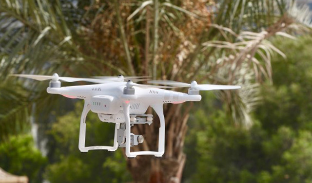
The Ministry of Climate Change and Environment, MoCCAE, is introducing a new project to survey and map agricultural areas using unmanned aerial vehicles or drones.
MoCCAE invited several professional drone companies in the UAE to carry out the pilot phase of the project.
Commencing in the second week of June, this phase will include surveying and mapping Wadi Al Khib area (500 sqm) in the emirate of Fujairah via the cutting-edge technology.
Commenting on the announcement, Dr. Thani bin Ahmed Al Zeyoudi, Minister of Climate Change and Environment, said, "Using a drone-enabled aerial mapping system is the ideal solution to generate high-resolution, highly efficient aerial data, including topographic mapping, contouring, vector mapping and textured 3D city models. This data will be systematically analysed to produce accurate statistical information that is updated constantly.
"We hope through this project to create a highly accurate agricultural database that supports decision making and forward planning - particularly important if we are to achieve outstanding outcomes in precision agriculture," he added.
Some of the types of data to be collected through the project include the number of temperature-controlled greenhouses (chilled and outdoor temperature greenhouses), area of windbreaks, infertile land area, area of farm buildings and facilities, number of wells in a farm, soil type and salinity, and livestock population (camels, cows, sheep, goats, and horses, among others).
In addition, data on the number of beehives on a farm, farm area and geographical boundaries, farm classification (crop farm, animal farm or mixed), area of temporary and permanent crops, number of palm trees and other fruit trees, as well as area of protected agriculture will also be collated.
![]() Follow Emirates 24|7 on Google News.
Follow Emirates 24|7 on Google News.