- City Fajr Shuruq Duhr Asr Magrib Isha
- Dubai 04:20 05:42 12:28 15:53 19:08 20:30

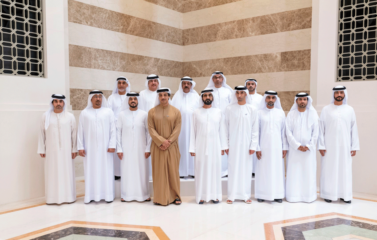
Photo: WAM
The UAE's Ministry of Climate Change and Environment, MoCCAE, announced the findings of the national survey of aerial mapping of agricultural areas using drones.
The scheme provides a wealth of raw data for analysis, such as the number and size of crops, livestock, and mixed farms as well as cooled and regular greenhouses, soil type and condition, and crop diseases.
Dr Thani bin Ahmed Al Zeyoudi, Minister of Climate Change and Environment, provided a detailed overview of the project results to His Highness Sheikh Mohammed bin Rashid Al Maktoum, Vice President, Prime Minister and Ruler of Dubai. In attendance were H.H. Sheikh Mansour bin Zayed Al Nahyan, Deputy Prime Minister and Minister of Presidential Affairs, and directors of municipalities across the country.
Dr Al Zeyoudi said two phases covering agricultural lands of 1,100 square kilometres have been completed so far which gathered statistical data and information of 51 categories in six emirates.
"Through leveraging drones for the spatial data collection on farms, we seek to establish an accurate database of actionable statistical information to inform decision making and planning. The scheme will assist us in optimising the allocation of agricultural resources.
''The initiative, once completed, will place the UAE among the top five countries in the world in terms of the area surveyed using unmanned aerial vehicles, and the first to employ this technology to map as many categories of statistical data,'' he added.
Furthermore, the initiative will help monitor agricultural productivity, including seasonal crops (vegetables and field crops) and year-round crops (fruits) in its ambit, to devise adequate marketing plans for farmers. In addition, areas cultivating feed crops will also be assessed as part of the mapping exercise.
Launched in August 2018, the pilot phase involved remote sensing and aerial imagery of Wadi Al-aim in Ras Al Khaimah.
The project to survey and map agricultural areas using unmanned aerial vehicles, UAV, covered more than 188 sq km in the emirate of Dubai, 276 sq km in Sharjah, 332 sq km in Ras Al Khaimah, 52 sq km in Ajman, 65 sq km in Umm Al Qaiwain and 135 sq km in Fujairah.
Through leveraging drones for the spatial data collection on farms, MoCCAE is keen to establish an accurate database of actionable statistical information to inform decision making and planning. The move will help us optimise the allocation of natural resources and expand sustainable agriculture.
Aimed at facilitating the planning of future agricultural support services, the scheme will provide a wealth of raw data for analysis, such as the number and size of the crop, livestock, and mixed farms as well as cooled and regular greenhouses, soil type and condition, crop diseases, and irrigation methods.
The mapping exercise will help MoCCAE measure agricultural productivity to devise adequate marketing plans for farmers. It also examines irrigation methods to provide the Ministry with an accurate estimate of the volume of irrigation water used by agricultural holdings. MoCCAE will use the information to plan ways to alleviate the pressure on groundwater by deploying sustainable irrigation methods.
Once complete, the project will help MoCCAE assess the impacts of climate change on the agricultural sector in the UAE, as well as predict the volume of carbon dioxide emissions and waste generated by agricultural activities to devise adequate management plans.
![]() Follow Emirates 24|7 on Google News.
Follow Emirates 24|7 on Google News.