Dubai launches new addressing system and visual identity across 186 areas
Project led by the Supreme Committee for Urban Planning, RTA and Dubai Municipality will roll out more than 2,000 new signs in the first phase starting in Q4 2026
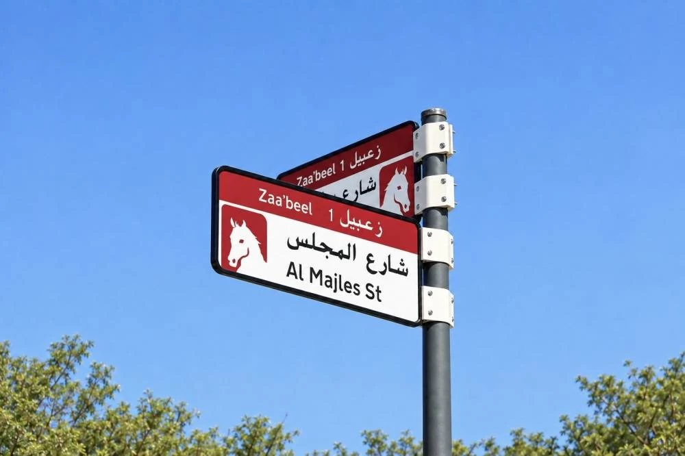
Dubai: The Supreme Committee for Urban Planning, in coordination with the Roads and Transport Authority (RTA) and Dubai Municipality, has launched a new visual identity and enhanced addressing system for areas across Dubai.
The initiative includes the installation and replacement of area identification signs, internal street name signs and house number plates, featuring unified designs and colours that reflect the geographical characteristics of each area.
Developed through a specialist consultant in wayfinding and addressing design, the new system is intended to make locations easier to identify, improve accessibility and enhance the visual appeal of streets, residential neighbourhoods and commercial districts.
The implementation plan covers 186 areas across 19 sectors in Dubai under a phased programme running from the fourth quarter of 2026 through to 2030.
The first phase will begin this year and includes the installation and replacement of more than 2,000 signs across five areas: Za’abeel 1, Za’abeel 2, Nad Al Sheba, Al Khawaneej 1 and Nazwa, in line with the approved visual identity for each area.